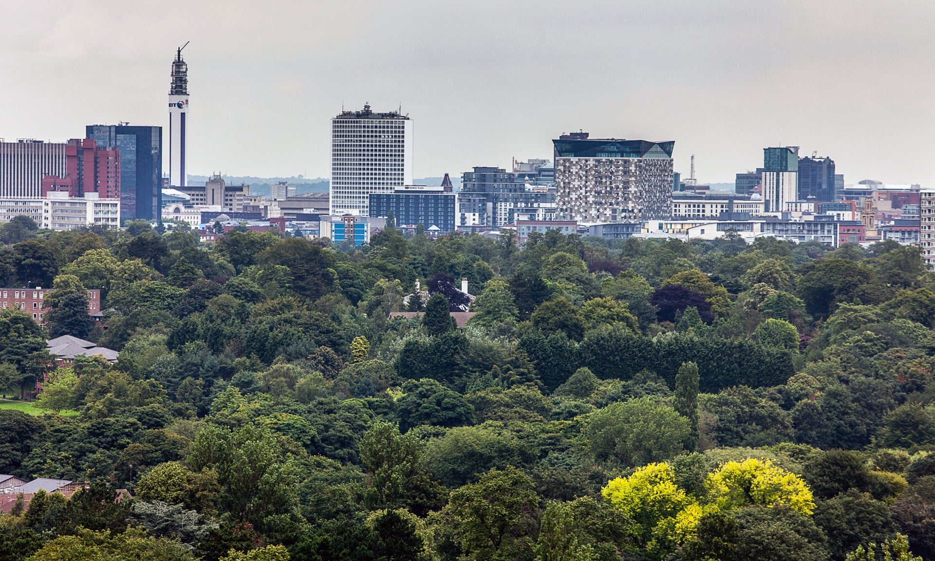
A data-mapping project by Birmingham City Council showcased the priority areas for tree-planting to deliver nature recovery ambitions across the city.
Introduction
A data-mapping project by Birmingham City Council showcased the priority areas for tree-planting to deliver nature recovery ambitions across the city.
Background
Named Tree City of The World for the past three years, and hoping to continue its accreditation this year, by the Food and Agriculture Organisation, Birmingham City Council has a growing focus on its role as a city in planting trees.
Its previous role within the Birmingham Trees for Life Partnership led to the delivery of tree-planting and maintenance projects, including being designated as a recipient for a government grant which led to the planting of over 21,000 trees in the city.
More recently, the city was awarded ‘Champion City’ status by the Queen’s Green Canopy initiative for their tree planting efforts.
The issue
Birmingham’s main challenge when planting more trees throughout the city was to identify the areas in the city which would most benefit from green infrastructure improvements. This meant considering the social and environmental drivers for additional green infrastructure through tree-planting.
Birmingham’s social disparities and uneven impacts of climate change on its citizens were fundamental drivers for improving green infrastructure in deprived areas. Approximately 43% of Birmingham’s population live in areas that are ranked in the 10% most deprived nationally and the COVID-19 pandemic brought to the forefront the inequality of access to green spaces.
Like many other cities, Birmingham is facing the consequences of climate change and is particularly susceptible to flooding, from both river and surface water, and the impacts of air pollution. The council’s declaration of a Climate Emergency in 2019 and its role as first host of the UK Climate Change Committee illustrates the importance that environmental factors play to Birmingham City Council when deciding where to plant trees.
The project
Birmingham City Council produced a series of maps to identify the social, environmental, and economic challenges affecting the city, aiming to produce a visual guide to pinpoint areas which would benefit most from tree-planting and green infrastructure.
Existing mapping of Birmingham’s urban heat island predictions and air pollution levels was already available from previous collaboration with the University of Birmingham. Other data, including tree-canopy cover levels, surface water, river flooding data and indices of multiple deprivation was either already available for use via the council’s planning department, freely available through open-source data or commissioned.
The mapping highlighted the River Cole, running through East Birmingham, as an area which could significantly benefit from green infrastructure. The mapping also provided a visual illustration of the need for greater tree planting in deprived neighbourhoods and highlighted areas which lacked green infrastructure.
The challenges
Balancing social and environmental land use
The mapping identified several areas around the River Cole which presented potential opportunities for extensive tree-planting. However, the mapping also identified that many of those areas were being used for informal recreation, highlighting the conflicts that can arise between environmental and social priorities. To tackle this, Birmingham City Council used innovative solutions including the planting of trees in strategic locations which avoided informal recreation areas around the river. This created a corridor, or ‘woodland block’, to improve biodiversity and tree coverage while avoiding the blanket planting of trees which may have restricted informal recreation.
Data-collection and analysis
While Birmingham City Council worked closely with the University of Birmingham and much of its mapping data was open-source, there was a cost to accessing some data including tree-canopy cover levels. This included canopy cover data which was procured from Blue Sky. There were also several decisions that needed to be made surrounding what data should be included and excluded in the mapping process. For example, Birmingham City Council excluded areas which were inappropriate for tree mapping such as sports stadiums and waterbodies. The mapping process from start to finish took around a month, but ultimately Birmingham City Council feel this was a worthwhile project to clearly identify areas for tree-planting.
Impacts and lessons learned
Opportunity for external communication
While there is time and resources associated with data-mapping, Birmingham City Council has found the project invaluable in communicating its tree-planting strategy visually and its ability to begin conversations on the benefits of tree-planting with residents. The maps highlight the health benefits that green infrastructure can provide to the city and has also generated potential funding opportunities through collaboration with external stakeholders.
Opportunity for steering projects and developments
The data-mapping developed by Birmingham City Council has contributed to wider council strategies and corporate commitments. As a result of the data analysis, East Birmingham’s Inclusive Growth Strategy highlights that the River Cole is now a ‘priority’ area for the council to improve the ‘safety, quality and appeal’ of.
Cross-party working through Birmingham’s Future Parks Accelerator programme also provides an outlet for the data-mapping to tackle a wide range of socio-economic issues and identify funding opportunities.